| My pages about Iceland |

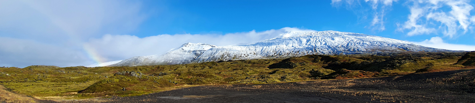
September 2020: Who would have thought this would be possible, that we would travel abroad autumn 2020! But we did! We found an opportunity at the very VERY last minute to travel to Iceland! It meant 1 week in quarantine in a nice little house in middle of nowhere, but with great views! And 2 weeks of travelling around the whole island. And being able to travel here during the Covid time has been such a unique opportunity, with hardly anyone around and being able to experience the amazing nature without disturbances.
For now this page will be a sort of photo collage, but hopefully some day soon I will have some time to write a bit more in depth about my visit to Djúpalónssandur.
Djúpalónssandur black beach
Iceland


But before I continue with my impressions of Djúpalónssandur, please let me give you an idea where you can find it on the map. Djúpalónssandur is located on the Snæfellsnes peninsula. It is almost 3 hours / 210 kilometres drive north west of Reykjavik according to maps, but for us driven took more time than was indicated.
location on the map: 64.8424045, -22.9722439
Another important thing is to ensure to have a filled gas tank because distances are long here and gas stations are few and far between in this area.


Gatklettur rock

taking photos of the Gatklettur rock
To get some perspective how big the Gatklettur rock really is you need to take a close look at the photo. You can see me on the right side of the picture, totally being dwarfed by this rock formation.


The trawler "Epine", or better said, what is left of it. The rustic red pieces of iron are scattered around the top part of this beautiful beach called Djúpalónssandur. The rusty mangled iron remains are contrasting strongly against the black corny sand. These pieces of iron have been here since 1948, the year that the British trawler Epine (GY7) wrecked on this part of the coast, causing the loss of 14 of her 19 crew.
On this night, the 13th March 1948, the Epine was wrecked on rocks a little to the west of Malariff Light, east of Dritvik in a severe gale and blizzard. Rescue teams from nearby Arnarstapi, Hellnar and Hellissandur came to help, but the conditions were difficult, with bad weather and heavy seas. The tide was coming in and huge waves broke over the ship. And one can just imagine how the coast might have looked in a heavy storm in total darkness.
I knew the wreckage was here before we visited, and I was not sure how I would react to seeing these pieces of metal scrap laying around on this beautiful and rugged piece of coastline. But being here made me change my mind. It is quite remarkable to realize that the wreckage has been here for over 7 decades. A rememberance to what happened here that night and paying respect to the crew that lost their lives that night. And for me also paying respect to the forces of nature. Something one never should under estimate, especially here on Iceland. Weather always felt 'present' in Iceland for me, and I have never been to a place where it felt like that. The weather can change so quickly and unexpectedly: one moment you can have gorgeous sunshine, but the next it might be storm, rain and freezing cold.

Söngklettur to the left

The lifting stones. In Iceland, lifting stones were traditionally used to qualify men for work on fishing boats. To qualify, a man would have to lift at least the hálfdrættingur stone (described below under Dritvik Stones) to hip-height onto a ledge. Lifting heavier stones would entitle the man to a greater share of the catch. The ultimate objective is to reach the 'fullsterkur' status proving you are 'fully strong' by lifting the heaviest stones.
At the tip of the west coast, in Djúpalónssandur beach at the foot of Snæfellsjökull lies 4 stones which are called Dritvik Stones. Historically, the sailors and fishermen who rowed out from this port would lift the stones to prove their worth to a ship’s crew and earn themselves better pay remuneration. The 4 stones are classified as: Amlóði ("useless") at 23 kg (51 pounds) Hálfdrættingur ("weakling") at 54 kg (119 pounds) Hálfsterkur ("half strength") at 100 kg (220 pounds) Fullsterkur ("full strength") at 154 kg (340 pounds)


Söngklettur - the Singing Rock
Simone & Åke, September 2020, Djúpalónssandur, Iceland

It would be great to hear from you!
You can reach me by sending me an Email.
Or leave a comment / reaction in the box below.
You can also follow me on Facebook: Sim1 around the World Blog
:-) Simone