| My pages about West Coast of Sweden |
| My travel stories | My photo impressions | ||
| Käringön, one of my favourite islands | Gullholmen | Ramsvikslandet | |
| Marstrand | Hälleviksstrand | Tresticklan NP | |
| Skaftö, hiking to lovely Grundsund | Härmanö | ||
| Stocken | Koster Islands | ||
| Mollösund |

One of our favourite spots to visit for a week during the spring, before the tourist season starts, is the West Coast of Sweden. I think this is my seventh visit to this part of Sweden, quite remarkable as I hardly ever revisit a place! I often squeeze in some all-time favourites during these visits, but I also try to discover new places. And although I have been to the cute villages of Fiskebäckskil and Grundsund before, I had never hiked the coastal stretch between the two, until today. And it didn't disappoint! A very varied hiking trail and always a pleasure to walk through picturesque Grundsund.
All the photos in the collage below are clickable, so you can view the larger photo.
Hiking on the island of Skaftö
From Fiskebäckskil to lovely Grundsund

View over Fiskebäckskil
Good morning all! We are making a relatively early start today as we are on our way to the beautiful island of Skaftö on the West Coast of Sweden, in a region called Bohuslän. We are not staying on the island itself though, but north of it, on the mainland, in a town called Lysekil.
You can easily reach the island of Skaftö by car however, as there is a bridge at the north-eastern side of the island connecting it to the mainland. But for us this would have meant quite a bit of a detour on our route, and hence, staying in the town of Lysekil made more sence this time around. And as an added bonus this also means that we need to take a little ferry trip to the island from Lysekil. And who would say no to a boat trip through the Bohuslän archipelago! I certainly don't, as this is such a beautiful part of Sweden!

View over Lysekil from the ferry
Lysekil however is not one of my favourite towns in this part of Sweden, as it is not as picturesque as most of the cute little villages in the area. But it is a very practical place to stay as it has a lot of accomodations and restaurants to choose from. And as we were travelling so much out of season, and also in the midst of the Covid period, a lot of restaurants and shops in the smaller towns were still closed. But here we found a perfect place to stay, on the outskirts of Lysekil, having some great views from the terrace, and eating delicious fresh seafood prepared by Åke for dinner. In other words: the perfect place to stay for a few nights.
So what are we up to today? Well, taking the ferry first of all to the island of Skaftö! And on the island we plan to make a nice hike along the beautiful coastline between two of the cutest villages called Fiskebäckskil and Grundsund. Total stretch is about 13 kilometers.


We have an app on our phone that records our walks, which is quite fun (the App is called Komoot). The map on the left side is our recorded walk.
If you want to do the exact same hike as we did, you can find the link here: https://www.komoot.com/tour/387985645
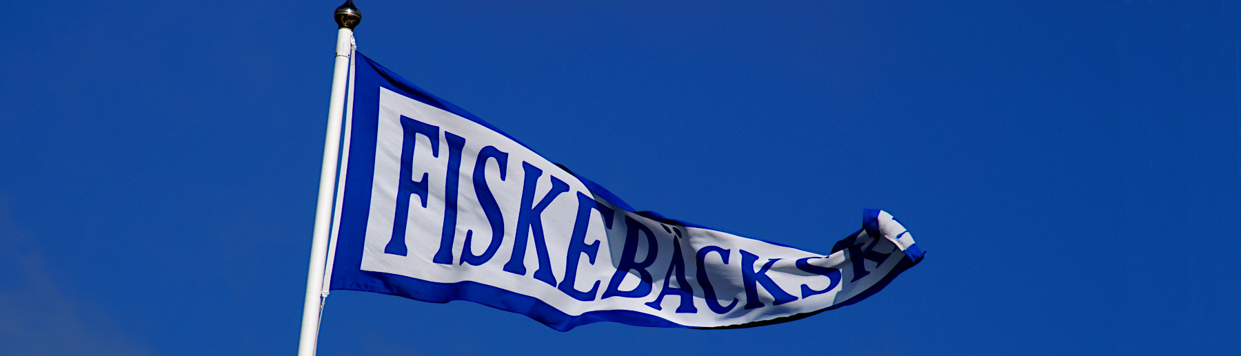
Starting point: The harbour of Fiskebäckskil
GPS starting point: N58.250276, 11.4578591 (click to open coordinates on google maps)
Type: Loop trail
length: 12,6 km.
total height difference: 130 m
Trail signs:A combination of several trails, but not that difficult to navigate:
• Trail Korpelia
• Trail Munkeviksleden
• Trail Strandpromenaden
• Returning through trail Kuststigen
Difficulties: No real difficulties, although the hike includes quite a few stairs. Also hiking up some cliffs, but these look more difficult than what they are: there are ropes or steps in place to make these spots easy to tackle. The hike is no problem either to do if you are afraid of heights.

On the ferry from Lysekil
It is 9 o'clock in the morning. We manage to park our car in the city center and walk relaxed to the quayside from where the ferry departs. The sky is looking promissingly blue; a welcome change to the cloudy weather we have had so far during our trip. There is a bit of a chill in the air though and a bit of a haze is lingering around, as it is still early morning. But by now I am starting to get existed about today, this is going to be wonderful! Blue skies and hiking along gorgeous coastline, what more can one wish for?!

The ferry goes quite often during the day between Lysekil and Fiskebäckskil, roughly once every hour. You can search for the timetable here. But we opted for a rather early ferry as the weather forecast warns for increasing cloudiness during the day. The boat crew welcome us onboard with a cheerful smile, and to our surprise we are the only passengers onboard this morning. Although, maybe that is not that surprising during a morning early in June, long before the tourist season starts in Sweden.

View over Fiskebäckskil from the ferry
It takes only about 20 minutes before the ferry arrives in Fiskebäckskil and we are greeted by the colourful wooden houses, which are so typical for the West Coast of Sweden.
Down by the waters edge you will find the small boathouses whose openings face the water and typically are painted red, although some of them also are painted in yellow tones. Further up the cliff you can spot the more stately houses with glass verandas and balconies that show true carpentry joy.


It is a so wonderful to stroll around the many cozy walking paths through the village and soak in the atmosphere, with streets winding between captain's villas and fishermen's cottages. It just oozes the relaxing archipelago atmosphere that I just love.
The history of this village dates back to the 16th century, when it was founded during the rich herring period. During the years 1556 to 1589, a very rich herring period occurs along the Bohuslän coast. Many foreign and domestic merchants come to trade in herring and Fiskebäckskil eventually developed into one of Sweden's leading skipper's communities. But this era ended at the end of the 19th century. And although it is no longer a busstling fishing community, its history feels still very present in the many old picturesque and colourful houses.

boathouses in Fiskebäckskil

It is time to leave Fiskebäckskil behind and start exploring a bit more of the island. It proofs to be a bit of hassle to navigate our way out of the village however. We follow the road "Strandvägen" and the sign for the hiking trail "Kustvägen". The tricky part is that is not the trail we want to walk, but it does bring us to the start of our intended trail.
We keep our eyes out for the next sign "Vandringsled" (which means Hiking Trail), "Gåsevik - Gröderäng - Korpelia". And not before long we find ourselves on the right trail and at the first of the many picturesque bays during this hike.

The picturesque bay just outside of Fiskebäckskil


Lupins in bloom

What is so enjoyable during this hike is that it is that it is so varying in landscape. One moment you are standing on the barren cliffs overlooking the bright blue sea, spotting the white sails of the sailing boats going by in the distance. And the next moment the trail leads you inland, on narrow trails, and you are totally submerged in green foliage. You are surrounded by wildflowers like lupines and the air is filled with the fragrance of the dainty white flowers of the Mockoranges.

at the meadow "Gröderhamnsängen"

After about 2,5 kilometers into the hike you will pass a wildflower meadow. This meadow is called "Gröderhamnsängen", and it was declared a nature reserve in 1987. If you are in luck and are here at the right time you might be able to see up to a thousand flowering specimens of orchids in a very limited area. We didn't have that much luck though, but it was a nice to cross through this meadow area nevertheless!
The meadow marks the start of the "Korpelia" trail. The total distance of this trail is about 1 kilometer and easy to follow as it is marked with yellow trail signs. From the meadow the trail winds its way up "Korpeberget" and continues towards Stockevik harbor.
The trail is really 'hugging' the coastline at this point, as it gets very small and leads you over a cliff that initially looks like you will never will be able to pass the obstacle. My initial reaction standing at the bottom of the cliff was "Eeks, this is going to be difficult!".
But admittingly it looks much worse than it in reality is. I almost would call it a "piece of cake" to climb up. With the help of steps where it is small and steep, and even ropes where it is extra steep, you will be able to get to the top.
A bench is in place halfway up the mountain where you can sit down, cath your breath and enjoy the beautiful views over Gåsöfjorden and the bay at Gröderhamnsängen.
The high cliff that the trail crosses is called Korpeberget, and the trail is called "Korpelia". Lia is an old name which is an abbreviation of 'lid' and lid means "steep road" and that is exactly what this is, hence the name. The trail is really new: it was inaugurated on Midsummer Day 2018.


And Up, Up, Up we go! Slowly climbing up the "Korpeberget".


Phew, I made it to the top! But the climb is totally worth it as the views from here over Gåsöfjorden and the bay at Gröderhamnsängen are gorgeous.

We are now almost halfway between Fiskebäckskil and Grundsund and pass the little community of Stockevik. and from here the trail goes up and up again.

In Stockevik


The trails turns back into the forest, and after a while we pass the Cholera Cemetary at Åse. It is a desolate place, in the middle of the forest. There is not much to see here, being away from the rest of the world. The grass is growing high, and some wildflowers are thriving in this clearing in the forest soaking up the sunshine.

Åse Cholera Cemetary

But the cemetary is spot for some reflection while being in the midst of the current Covid Pandemic (June 2021). Almost a century ago, in the year 1834, at the end of summer, a cholera epedimic hit Skaftö and many died in the surrounding communities. On August 22, the first death "of Cholera Morbus" occurs in Fiskebäckskil. Until September 16, 78 people die in the same epidemic in Fiskebäckskil; about 11 percent of the population die in less than four weeks. In this cemetary 13 people were buried that didn't survive the cholera. The cemetary was erected here, on common ground, to avoid the long transport to the excisting cemetaries that were located much further away.


It is also here that we continue our journey on the next hiking trail called "Munkeviksleden". No worries that you will miss this trail as the signs are quite obvious. We slowly wind our way through the forest down to Munkevik before continuing along the coastal strip and ending in Vigerna where the "Strandpromenaden" will take over the route towards Grundsund.

Sign to Munkeviksleden


The trail "Munkeviksleden" is about 1,7 kilometers long and starts at the Åse Cholera Cemetary in a forest, with relatively big trees surrounding the trail. But the further you walk on this trail, the big trees get more and more sparse and you will get some glimpses of the blue sea in the distance.


Which way to go?


And than we arrive at the sea again! And not only having small distance glimpses of blue, but arrive directly att the shoreline at a place called "Munkeviken". The blue colour of the Skagerak is looking wonderful. And across the water we see the little community of Gåsö.
Munkeviken is a little beach area and the perfect spot to take a rest. So we take a break on one of the picknick tables that are placed here and soak in the beautiful views. The wind is rather strong though, and chilly!! Brrr... it is still so early in the season that the wind crossing the water feels cold. The sun is nice and warming though, but sitting still, the cold winds prevail. So better get moving again and continue the hike!

The little community of Gåsö seen from "Munkeviken"


After Munkeviken the trail follows the shoreline for the remainder of the hike to Grundsund. Sometimes the view of the blue sea is hidden behind some cliffs, but never for long as the trail quickly turns back towards the shoreline. And on such a beautiful sunny day the views are just gorgeous!


Stairways to the blue heaven above...
Ah, we are so in luck with the weather today! It is slowly getting a bit cloudier, but the sun still shines brightly and cheerfully upon us while we are gasping for air after climbing all the steps. But it is a gorgeous walk, so absolutely worth it!
We are now on the next hiking trail called the "Strandpromenaden". This is a beautiful part of the hike and the whole trail consists of wooden decks and stairs that hug the shoreline. It's really wild terrain here. Before the wooden ramp was built, it must have been almost impossible to make your way through the steep and dramatic blocky terrain.


The trail zigzags through the terrain, and there are plenty of benches everywhere along the boardwalk. You can settle down anywhere and rest, feel the salty wind on your face, and admire the wonderful views over the rocky landscape and the clear blue seas of the archipelago.
We found the perfect bench along this part of the trail, which was sheltered a bit from thw wind, where we decided to enjoy our home made lunch. On the menu is a fresh salmon pasta salad, hmmmm, delicious! Åke prepared some for us before we left for the boat earlier this morning as we knew all the restaurants in Grundsund were closed today. So bring your own was the only way to go! Yesterday we dropped by the local fish shop to buy some fresh seafood; the West Coast is really the place to be if you like fresh fish! We treated ourselves on Smoked Salmon, Fresh whole fish, and of course fresh mussels were bought to feast upon. Yum!


After the 750 metres long "Strandpromenaden" we reach the charming small fishing village of Grundsund, and in my opinion, one of the cutest villages in the area. It is easy to be charmed by Grundsund as there are so many nooks and cranies that ooze its past history as a well-known fishing village.


Grundsund dates back to at least the 17th century as a fishing village, but it was only in connection with the successful herring period in the 18th century that the settlement increased. The town was for a long time an important fishing village and shipping community. And while other similar fishing locations at the end of the 19th century were transformed into bathing resorts for the society, Grundsund remained primarily a fishing community instead. Many fishing boats still have had their home port in Grundsund.

During the First World War, the channel that divides the town into two parts, was dug so that fishing boats and schooners could pass more easily and have a larger sheltered harbor.


Along the canal are picturesque boathouses and piers from different eras. I could stay here for hours soaking in the atmosphere of this picturesque little village.


Old boathouses at Lilla Fisketorget, east quay


It is time to return and head back to Fiskebäckskil. You could return taking the exact same trail back, or you could even take the bus back from Grundsund till Fiskebackskil. But we opted to take an alternative route back, a bit more inland, which turned out to be a nice and very easy hike. The trail we follow is the "Kuststigen", a broad bicycle path leading through the lush green forest and mainly going downhill.


A gorgeous day has come to an end; tired but happy we wait for the next ferry to transport us back to Lysekil. This is a hike that I can warmly recommend to anyone visiting the area, especially on a sunny day. I probably will be doing a repeat of this hike myself in the years to come, but maybe next time around I will try to stay the night in the village of Grundsund instead, to have some more time to soak in the atmosphere of this cute picturesque village.
Simone & Åke, June 2021, Skaftö, Sweden

It would be great to hear from you!
You can reach me by sending me an Email.
Or leave a comment / reaction in the box below.
You can also follow me on Facebook: Sim1 around the World Blog
:-) Simone