| My pages about Spain |
| My travel stories | My photo impressions | ||
| Medina Azahara | Cordoba | ||
| El Hierro - The rugid coast at Punta da Dehesa | |||
| El Hierro - Windswept trees at El Sabinal | |||
| Granada | |||

El Hierro, also called Isla del Meridiano, is the smallest and westernmost of the Canary Islands, thus also the westernmost of Europe.
For now this page will be a sort of photo collage, but hopefully some day soon I will have some time to write a bit more in depth about my visit to El Hierro
Windswept trees at El Sabinal
El Hierro, Spain

El Sabinal
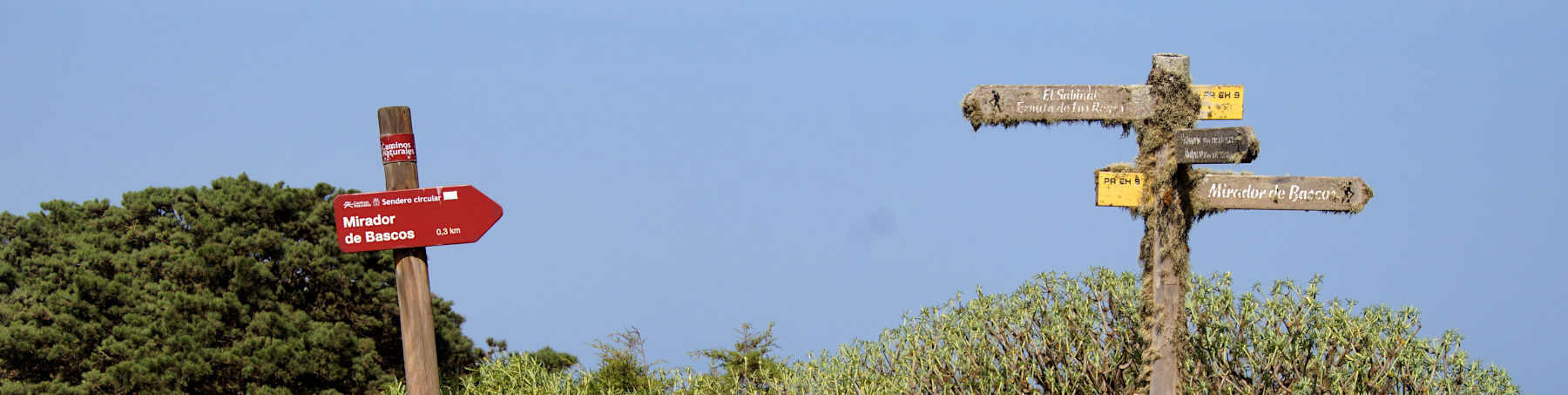
We are heading to La Dehesa located in the remote western end of the island of El Hierro, arid and unpopulated, but important for grazing livestock. Ancient, twisted, gnarled, weather-beaten junipers (sabinas) grow at El Sabinal. You can drive to these old junipers by driving along a dirt road, but the nice alternative is to make it to a lovely hike, seeing much more of the surrounding area and these characteristic junipers. So that is what we are plannning to do today. But before I continue with my impressions of El Sabinal, please let me give you an idea where we are going.


We have an app on our phone that records our walks, which is quite fun (the App is called Komoot). The map on the left side is our recorded walk.
If you want to do the exact same hike as we did, you can find the link here: https://www.komoot.com/tour/57196415
Starting point: Ermita de la Virgen de los Reyes
GPS starting point: 27.7300879, -18.1382166 (click to open coordinates on google maps)
Type: Loop trail
length: 8,9 km.
total height difference: 270 m
Trail signs:Easy to navigate
Difficulties: No real difficulties


Simone & Åke, February 2019, El Hierro, Spain

It would be great to hear from you!
You can reach me by sending me an Email.
You can also follow me on Facebook: Sim1 around the World Blog
:-) Simone