| My pages about France |

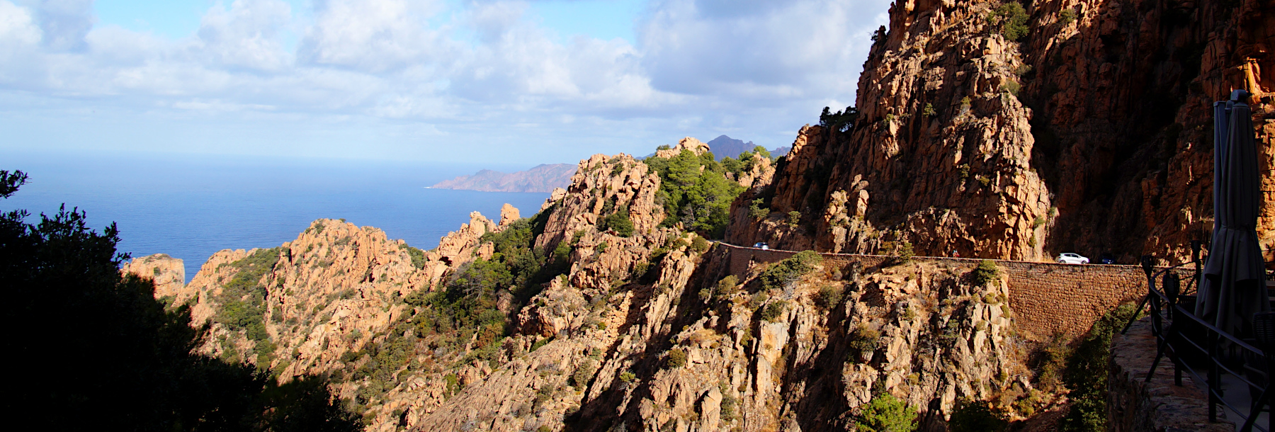
Calanche di Piana
For now this page will be a sort of photo collage, but hopefully some day soon I will have some time to write a bit more in depth about my visit to Calanche di Piana.
All the photos in the collage below are clickable, so you can view the larger photo.
Calanche di Piana
Corsica


We have an app on our phone that records our walks, which is quite fun (the App is called Komoot). The map on the left side is our recorded walk.
If you want to do the exact same hike as we did, you can find the link here: https://www.komoot.com/tour/493992103
Starting point:Free parking at the road, very difficult to find a spot
GPS starting point: N42.2454527, E8.6534769 (click to open coordinates on google maps)
Type: out-and-back trail
length: 4 km.
total height difference: 100 m
Trail signs:
Difficulties:


Simone & Åke, September 2021, Calanche di Piana, Corsica, France

It would be great to hear from you!
You can reach me by sending me an Email.
Or leave a comment / reaction in the box below.
You can also follow me on Facebook: Sim1 around the World Blog
:-) Simone